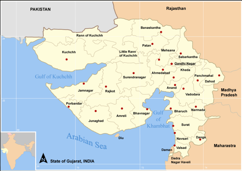
File: Map Gujarat state and districts.png
From New World Encyclopedia
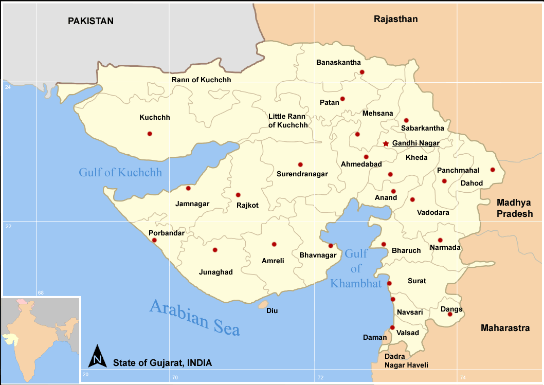
Size of this preview: 800 × 566 pixels. Other resolutions: 320 × 227 pixels | 1,058 × 749 pixels.
Original file (1,058 × 749 pixels, file size: 65 KB, MIME type: image/png)
File history
Click on a date/time to view the file as it appeared at that time.
| Date/Time | Thumbnail | Dimensions | User | Comment | |
|---|---|---|---|---|---|
| current | 02:22, 19 December 2007 | | 1,058 × 749 (65 KB) | Nim Ruparel (talk | contribs) | [http://en.wikipedia.org/wiki/Image:Map_Gujarat_state_and_districts.png source and rights] |
You cannot overwrite this file.
File usage
The following 3 pages use this file: